Macounpin County
and Communities
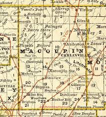
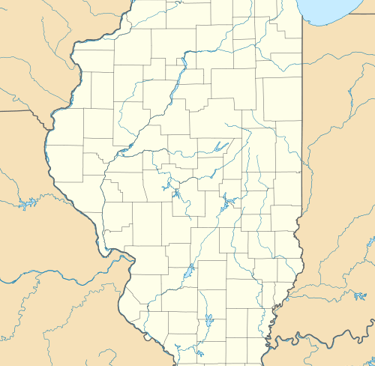
Macoupin County
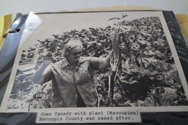
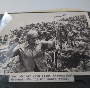
The County of Macoupin, when Illinois was admitted as a state in 1829, was part of Madison County. In 1829, the state legislature passed an act creating Macoupin County. The name Macoupin, according to some, has its origin in “Macoupinia” meaning “white potato,” referring to the wild artichoke that grew along the streams. The name of Macoupin was also given to the principal creek that runs through the central part of the county from east to west.
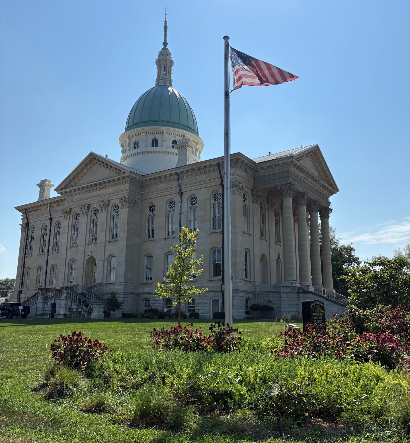
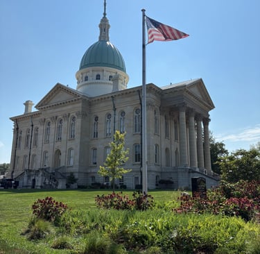
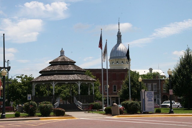
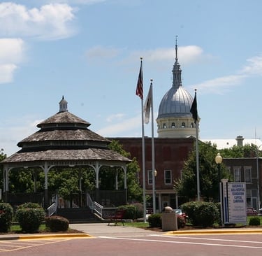
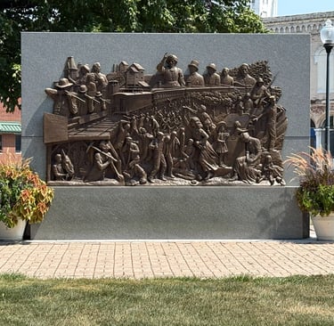
‘Million Dollar’ Courthouse
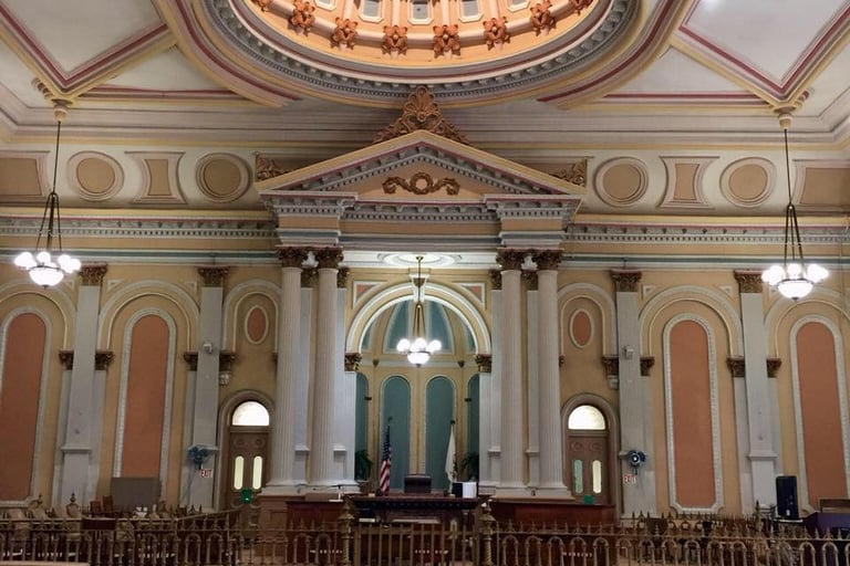
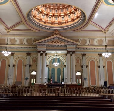
In the fall of 1867, a ceremony was held to lay the cornerstone of what was to be the third courthouse of Macoupin County. There were politicians giving speeches, the bands of Bunker Hill and Carlinville performing and the Carlinville Masons holding a solemn ritual. The main speaker, Carlinville Mayor John. M. Woodson, said that the cornerstone being laid was the start of raising ‘a structure to be the watchtower of a great and rich people.’ No one there that day would have guessed that it would be three more years before the building was completed, forty years before it was paid for, no dedication ceremony would ever take place and even today controversy still exists on what exactly took pace as the Macoupin County Courthouse was built. . . Read more in ‘MACOUPIN COUNTY, ILLINOIS HISTORY & FAMILIES’ available in our genealogy library or through this website.

Community Histories
of
Macoupin County
Atwater is located in Shaw’s Point Township and was started following the coming of the Jacksonville and Southeastern Railroad. The original plat of Atwater lies west of the railroad and was laid out in town lots in 1880. The land was owned by Abraham Davis. The railroad became known as “The Jack” and was later bought out by the Chicago Burlington and Quincy.
Read more in
MACOUPIN COUNTY, ILLINOIS HISTORY & FAMILIES
available in our genealogy library or through this website.
Atwater
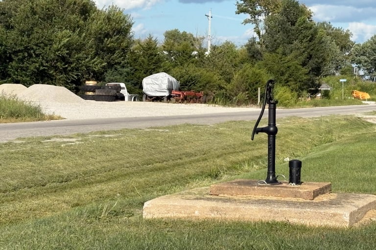
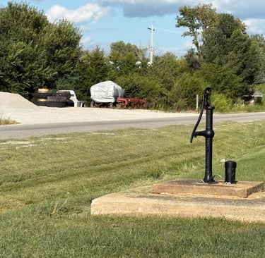
Barnett
In 1852-1857, George W. Barnett operated the first store in Shaw’s Point Township, which was located on his property at the intersection of the Atwater Road and Route 108. For a brief period, the store also housed a post office. Later in the 1850s George Barnett platted the town of Barnett on his farm ground just south of his earlier store.
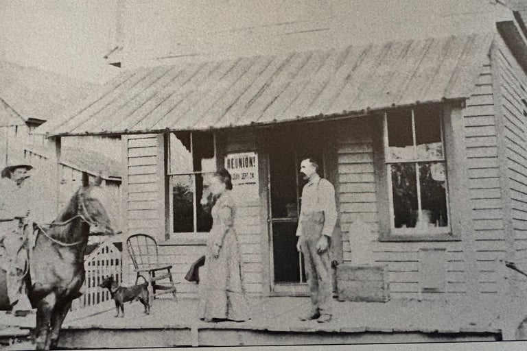
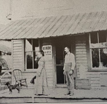
Barr & Barr's Store
Benld
Barr Township is Township 11 North, Range 9 West, in northwestern Macoupin County, Illinois. Like much of Macoupin County, it has excellent soil, with areas of heavy timber along Taylor Creek and very productive farmland. Solomon’s, Joe’s, Taylor’s, and Watt’s.
About 1900, the Chicago and Northwestern Railroad opened several coal mines in the Benld area purchasing acreage from Ben L. Dorsey. The Dorsey family centered a town in the middle of this mining area naming the town Benld - the first name, middle and last initials of Dorsey’s last name.


Brighton
Bunker Hill
Brighton’s history began in 1826 when Oliver Brown built a log cabin in what is now Betse Ann Park. In 1836 Nathan Scarritt, a Mr. Elliott, Robert Smith of Alton, a Mr. Shaw of Philadelphia and a Mr. Van Antwerp of Missouri bought 280 acres of land from Oliver Brown and laid out a town of 40 acres and named it Bristol. Soon thereafter Herman Griggs founded another town north of Bristol and named it Brighton after the English namesake in Massachusetts. Quite a rivalry arose between the promoters of the two villages and in 1837 the town villages merged into one called Brighton.
The earliest inhabitants of the area we now know as Bunker Hill were the Peoria, Kickapoo and Winnebago Indians who roamed the prairies and had a grand camping ground near a large spring northeast of Bunker Hill. With the coming of the white settlers, the Native Americans gradually disappeared, and the last five wigwams were pulled down in 1826. In 1830, Elijah Lincoln became the first settler in the immediate vicinity, and being a man of great vision, he started a town and named it Lincoln.
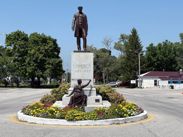
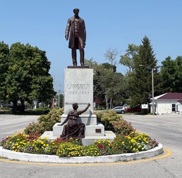
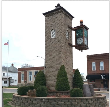
Carlinville
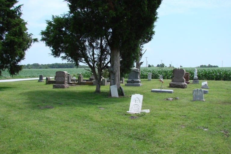
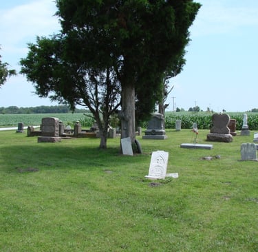
The county seat of Macoupin County, this is a bustling city that is a mixture of the revered older buildings and institutions and the modern, a variety of local industry and manufacturing, with a heavy agricultural influence and a population over 5,000 souls. The first settlers were, Native Indians – Black Hawk, Kickapoo, Kaskaskia and Illini - with settlements and burial grounds not far from Beaver Dam State Park southwest of the city.
Centerville
The settlement of Centerville is located in the southern part of Hilyard Township. It is so named as it was centrally located to the north by Plainview, to the east by Dorchester, and south by Bun ker Hill and Woodburn and to the west by ShipmaN.. Centerville was locatedapproximately five miles from each of these towns.
Chesterfield
The village of Chesterfield is located on State Route 111 between Medora and Hettick. The town celebrated its 175th birthday in 2011 with a parade and other festivities. In the late 1800s and early 1900s the town was a busy center with many businesses and services available. Today people travel to larger cities for their needs.


Dorchester
Dorchester village was laid out along the Indianapolis and St. Louis Railroad, partly in Dorchester Township and partly in Gillespie Township. Alonzo Cutler owned some of the land which became the town and in 1859 laid out some of it in town lots. Fletcher Chapman was surveyor. T.R. Hayden who owned a large tract of land where the town now stands did the same in 1860 as an addition in the same area.
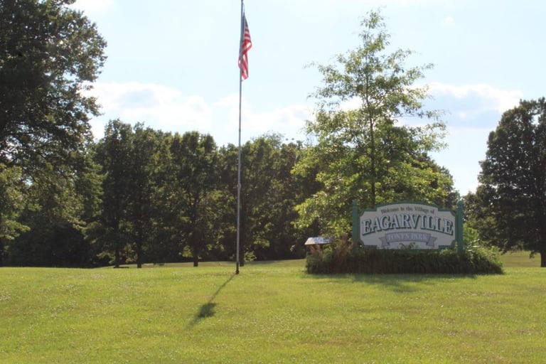
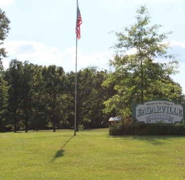
Eagarville
The village of Eagarville was incorporated November 16, 1915. The village is governed by a mayoral format. The first school was built in 1900 and consisted of two rooms. The VillageHall and Post Office are the buildings which formerly composed the school.
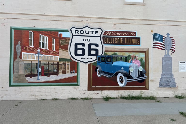
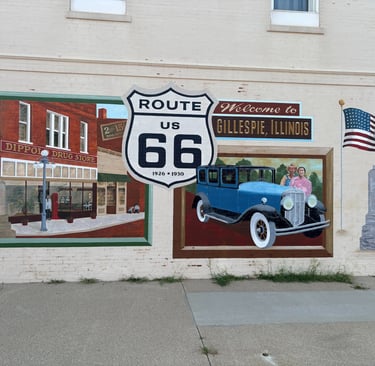
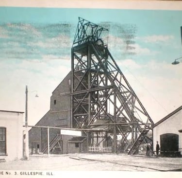
Gillespie
The village of Gillespie was settled in 18289 by Abraham Huddleston from Virginia and others. Jackson Sisson from Virginia had a farm here in 1837, upon which land the village of Gillespie developed. It was first surveyed in 1853, used as its founding, upon which it’s Centennial and other celebrations have been based. The village was named after Judge Joseph Gillespie who was responsible for the railroad passing through the town and township. East Gillespie is a small village adjoining Gillespie on the north, partly in Gillespie Township and partly in Cahokia Township. It was incorporated in 1938 and has its own town hall.
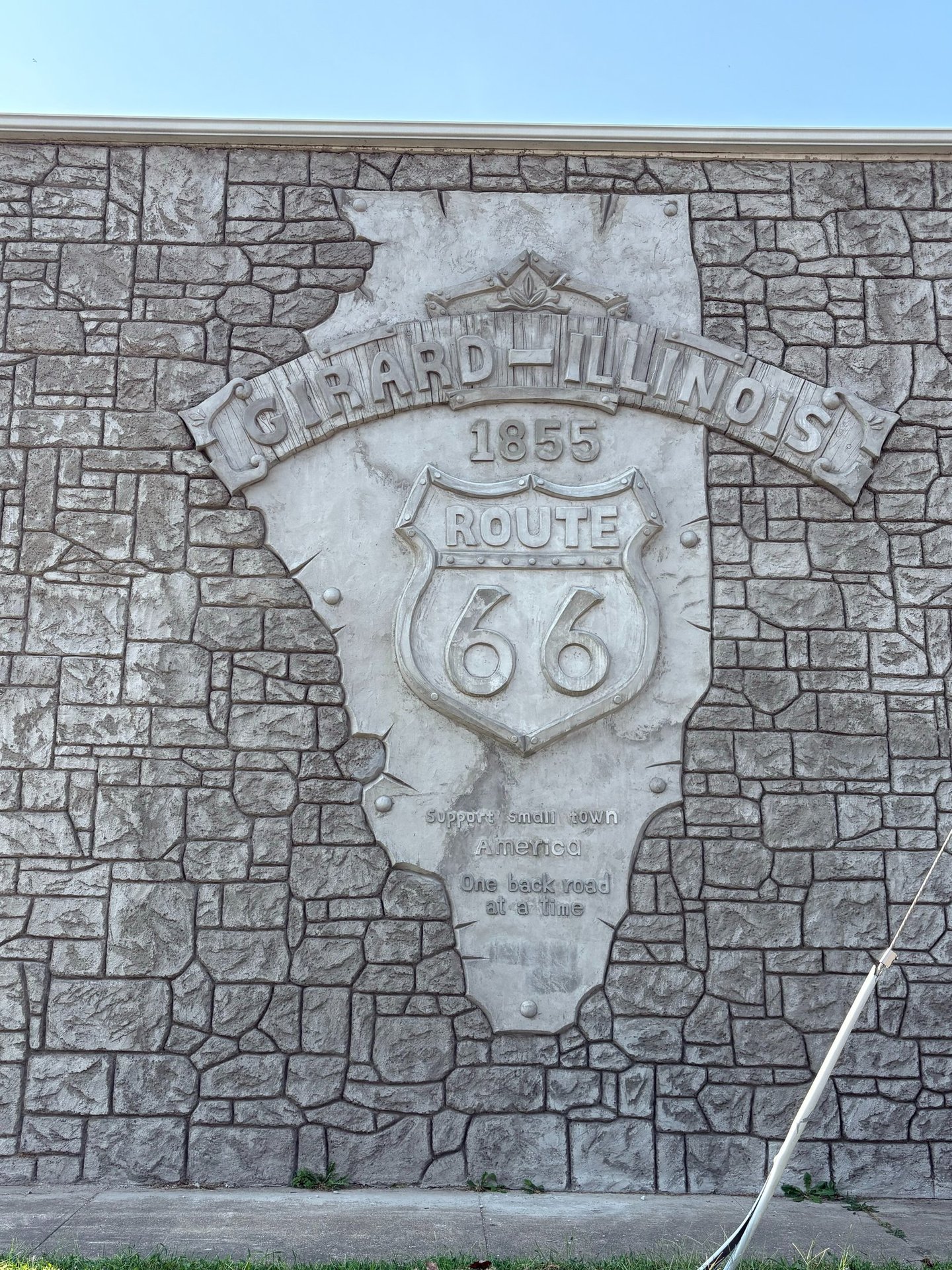
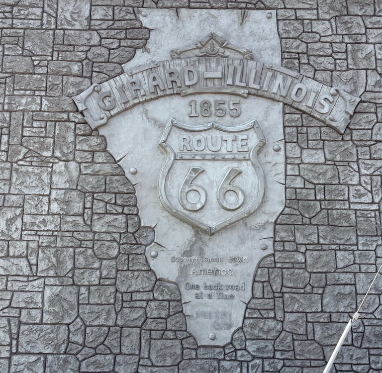
Girard
In 1834, Dr. Benjamin F. Edwards and Thomas Mather, both investors and speculators, attempt ed to lay out a town called Girard, largely on the site of the present town, but the plat was never recorded, and the only improvement was a brick kiln on the west edge of the town site. In 1835, John Henderson established a stagecoach stop at a crossroads one and a half miles north of the future site of Girard, later sold to John Virden
Green Ridge was located approximately one mile south of Girard on the Chicago and Alton Rail road. When the Green Ridge Coal company opened in 1894, the surrounding town flourished. A Post Office was established in 1896 and totally disbanded in 1919. The community totaled 325 people, 65 company houses all painted green and, was mostly situated on the west side of current Illinois Route 4.
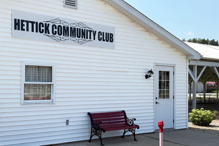
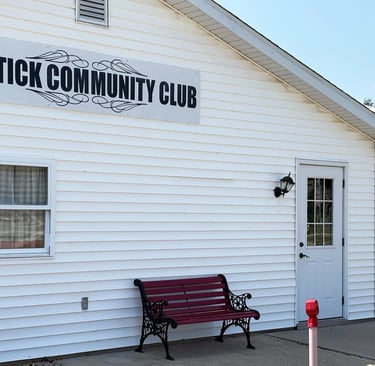
Hettick
Hagaman
The original Hagaman was laid out in 1881 from the John Hagaman Farm; this area has since been vacated except the lot where the store is located. The Flanagan addition was of the road and Shuttleworth addition, which is where the town hall, church, depot, and hotel were built, are still in existence.
John W. Hettick and his wife, Martha, were instrumental in the origin of the town, so it was given the name “Hettick.” In 1882, the west part of Hettick was surveyed and laid out in lots by Mr. W.A. Fansler. This included the west half of the park and square. The original plat states that “the streets and alleys were dedicated to public use forever,” given by Mr. and Mrs. Hettick. The town was incorporated in 1892.
Green Ridge
Macoupin Station
formerly known as Holliday Mills
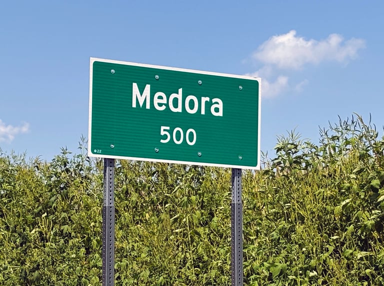
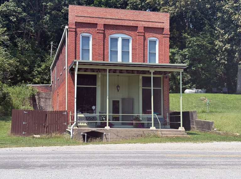
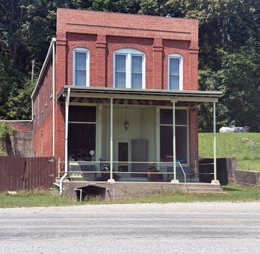
Medora
formerly known as Rhoads Point
Robert Holliday, an early settler in what is now Polk Township, petitioned the County Commission of Court in Macoupin County in 1836 for permission, and was granted permission, to build a dam and water-powered sawmill on the Macoupin Creek at the intersection of Macoupin Creek and Dry Fork Branch Creek, the enterprise to be located on property he owned in section 27.
The Jesse Rhoads family came from Kentucky in 1829 and settled on land south of the Macoupin Creek. This site was later to be called Medora. Jesse built a cabin on the north part of this area and five other Rhoads brothers joined them in 1830. The additional Rhoads brothers were John, Josiah, Henry, William (some say it was Samuel not William), and Jacob. All were enterprising people.
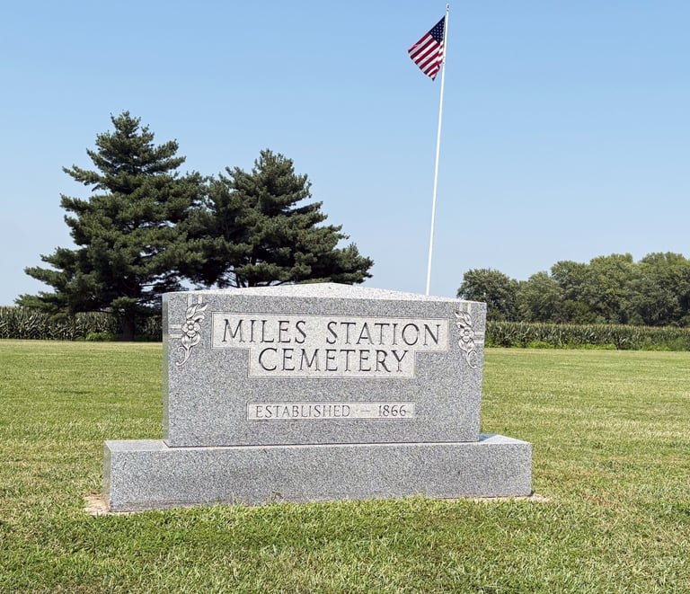
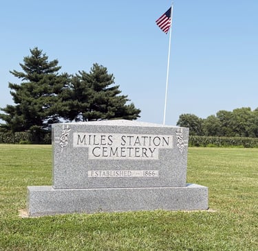
Miles Station
Miles Station was first known as Providence settlement but later the name was changed to honor Johathan Rice Miles and is located in Brighton Township. Alexander Miles was a native of North Carolina. He was married in Tennessee to Mary Irvin, a Georgia native, and settled his family in Brighton Township, Macoupin County in 1832, where they lived and died.
McVey
In 1829 early settlers who came to Nilwood Township were David Steele, John, Samuel and Ed ley McVey. They settle on Sherrill’s Branch, a tributary of Macoupin Creek. This neighborhood became known as the McVey settlement. At one time McVey had several stores, an elevator, a post office, a Christian church, a coal yard, a school, a depot, a blacksmith shop and a Modern Woodmen and Literary Society.
Mount Clare
Mount Clare is located in sections 25, 26, 35 and 36 of Gillespie Township. According to the 2010 census, the village has a total of 1.55 square smiles, with 1.51 square miles in land and 0.04 square miles in water. The village was named after Mrs. Clara Dorsey, wife of one of the original landowners of the great Superior Coal filed, or a Dorsey child with the spelling of “Clair.” The old grade school has the spelling “Mount Clair” above the entrance doors.
Mount Olive
The Chapman brothers, John D. and Richard, with their families were about the earliest settlers, around 1826. The Chapman cemetery west of Mt. Olive was named after these brothers and their families who are buried there. An immigrant boy from Germany, by the name of John C. Niemann, saw the rolling prairie land of this part of Macoupin County and decided that it would be his future home. In 1846, he purchased his first 40 acres from the government upon which Mt. Olive is now located. Niemann and his brothers, Fred and Henry, erected the first home of logs in Mt. Olive which stood on the northeast corner of the city.
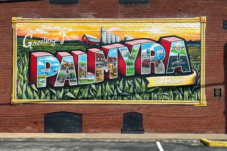
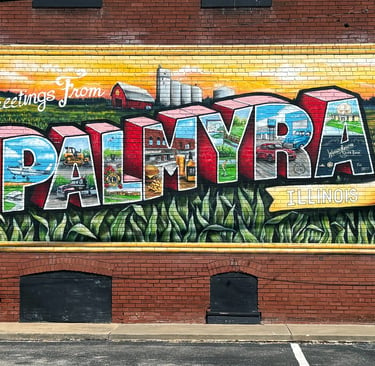
Palmyra
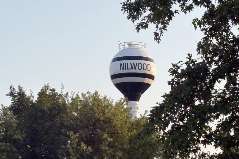
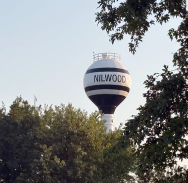
Nilwood
The 1979 History of Macoupin says the first settler in Nilwood Township was John A. Harris who settled in the northeast part of the township known as “Harris Point,” in 1829. Following Harris were brothers John, Samuel, and Edley McVey, and David Steel, settling at Sherill’s Point, later known as McVey.
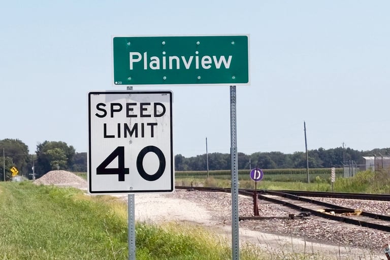
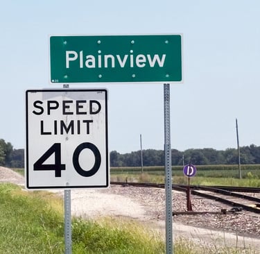
Plainview
Piasa
The first settlement in what was to become the village of Piasa was made in 1835. George Parker who came from Greyson County, Kentucky, with his wife and baby daughter started this settlement. He filed claim for land on section 29. His home was located on the east side of the Alton Road, which is now IL Rte 111 and IL Rte 267 a few hundred yards south of the Piasa Creek. Several families came and located along Piasa Creek.
A four horse stage wagon named the St. Louis Sangamon State Company was advertised in 1822 to run from St. Louis to Sangamon (now Springfield). It would run every two weeks taking two days to reach Sangamon. A change station for the changing of teams was located at this merging intersection about three miles east of where Plainview is now. At that time, the location was referred to as Planview.
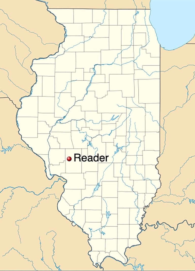
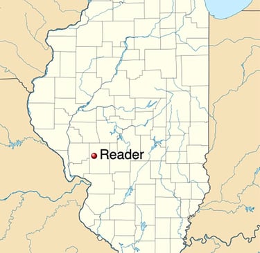
Reader
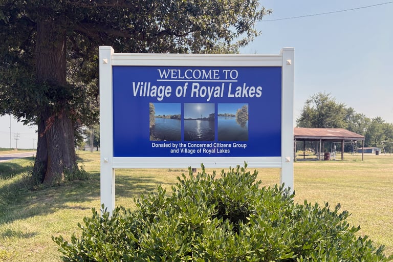
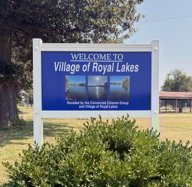
Royal Lakes
Reader was a small settlement located north of Chesterfield in Western Mound Township and was named after George W. Reader. The town was established close to the Jacksonville Southeastern Railroad Line in section 13 of the township.
During 1956, property in sections 27 and 28 of Hilyard Township was purchased by an investment group in Chicago as developers. They platted the property, laying out lots to sell in what they claimed to be a resort. Along with the lots, the property also included three small lakes named Shad, Shadrack and Messhack. Although the lots only measured 50 ft in width, lots were purchased mostly by people living in St. Louis and East St. Louis.
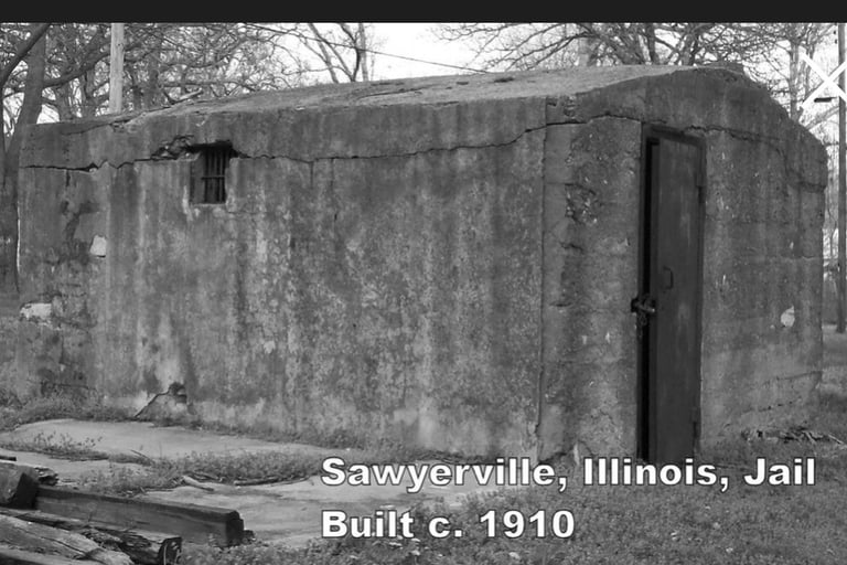
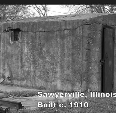
Sawyerville
Scottville
There is a discrepancy over which Sawyer the village was named after. It is known that Josiah and Hannah (Sykes) Sawyer from Tyrrell County North Carolina settled the area around October 1831, and that Thomas Sawyer later sold is his land to the Superior Coal Company for the purpose of mining. The Macoupin County 1840, 1870, and 1900 censuses, as well as the 1893-1894 Macoupin County plat book, have numerous Sawyer families living in the area.
The village of Scottville was laid out in 1835 by Benjamin Stephenson and the proprietors of the town were Jefferson Weatherford and Tristram P. Hoxsey. The first postmaster was Sargeant Gobble who came from Washington County, Virginia to Scottville in 1838. He was a successful merchant and landowner and eventually built a home modeled on Abraham Lincoln’s in Springfield.
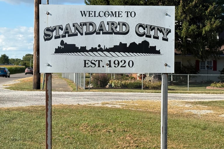
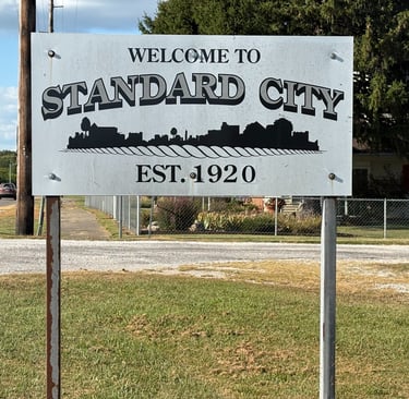
Standard City
Five families, all related by marriage, consisting of the George, John, Josiah and William Randle families and the Aaron Arnold family settled in 1831 in the area that eventually became known as Shipman. These five families entering adjoining acreage from the government around what is now Shipman came from Madison County. Aaron Arnold settled where the village of Shipman is now.
In 1917, David P. Anderson purchased a farm now known as Standard City. Before the deed was delivered, Standard Oil Company decided they wanted the property and brought suit to stop de livery of the deed. They lost and Anderson won, and then offered Standard Oil the property, but they were no longer interested.
Shipman
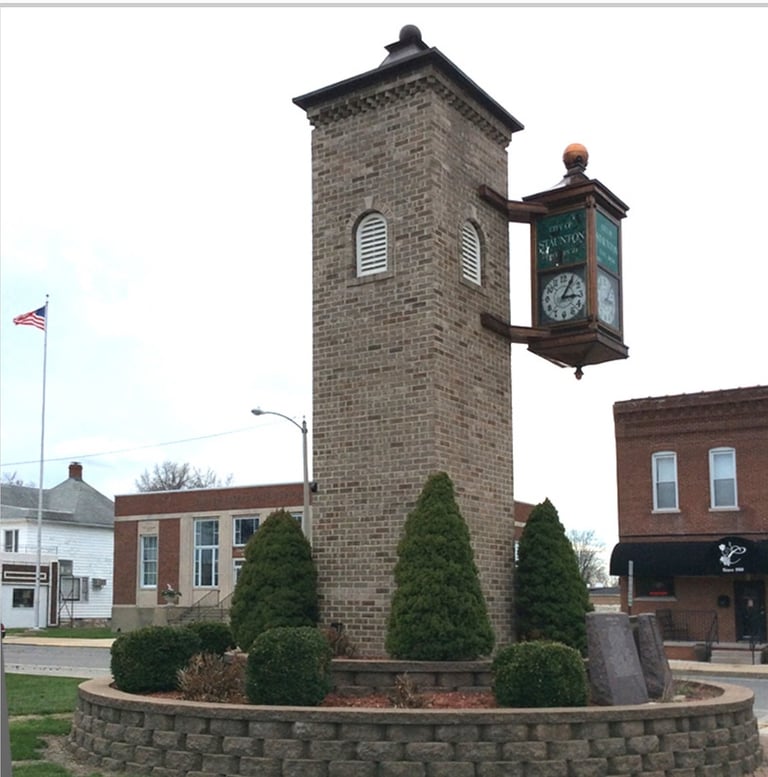
Staunton
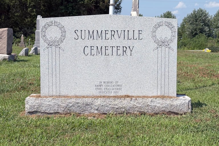
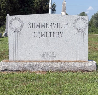
Summerville
John C. Wood and his wife were the first settlers in the township coming in 1817, followed by others over the next several years. In 1823 John C. Wood built a mill, using horse power for grinding grain. The first log schoolhouse was built in 1825 and in 1828 a larger better-built, hewn-log school was built which was also used for church and public meetings.
The Village of Summerville was laid out in 1852 by J.H. Williams, who came to Macoupin County from New York in 1837, and other early settlers assisted. The streets were named by William Carson. Mail first came to Summerville before 1850. With the railroad going through Medora, most trade was diverted there; consequently, Summerville did not grow as anticipated so a business district never developed.
Virden
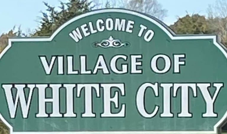
White City
The city of Virden is located about 25 miles south of the state capital of Springfield. The town was named in honor of John Virden who for a number of years had an inn on the stage line two miles south of the town. When the railroad was being built in 1852 going from Chicago to Alton, they needed towns along the route to supply the locomotives with water and wood and to pick up trade from the farmers who had settled the land.
White City is a small village in Mt. Olive Township, with an area of 1.21 square miles, developed due to the opening in 1905 of Coal Mine No. 15 by the Consolidated Coal Company of St. Louis. At its peak, it employed about 360 men, mostly from Mt. Olive, White City, and Staunton and provided free electricity to White City’s residents.
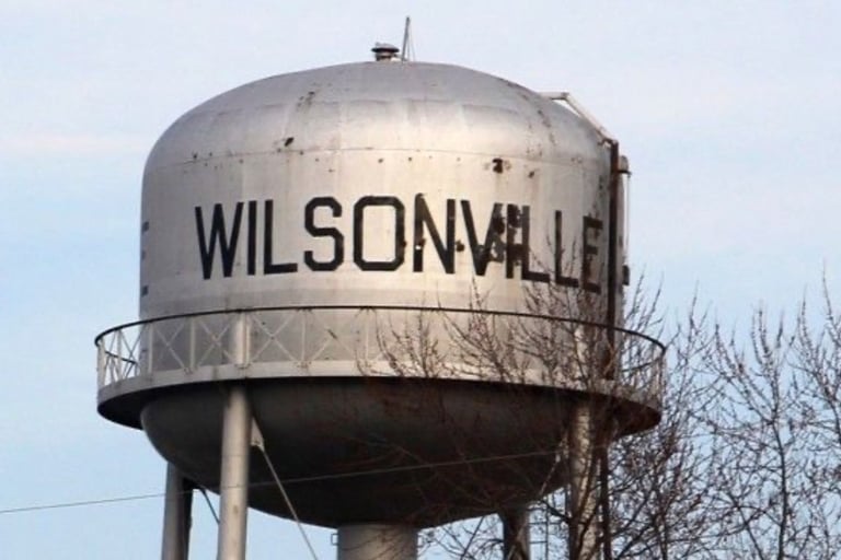
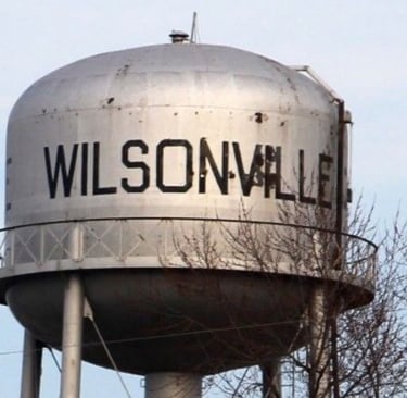
Wilsonville
Womac
Founded in 1917 when Superior Coal Co. Mine No. 4 was sunk in town, Wilsonville was incorporated in 1919 and is located on Route 138 in Section 3 and 10 of Dorchester Township. It grew as workers became miners there, from countries all over Europe. John Picco was the first mayor. In the 1920s the mine employed 1200 people.
Womac in Shaw’s Point Township was plotted in 1893 and, at its most populated point, had fewer than a dozen homes. In the 1920s, the L.C. & W. train (Litchfield, Carrollton & Western) came from the west as far as Womac. Several years later it went on east to meet the Chicago, Burlington & Quincy Line.
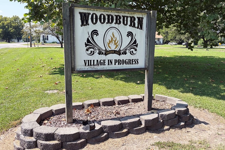
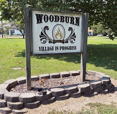
Woodburn
The story goes that about the year 1830, the Wood brothers came from Kentucky to Illinois prospecting for future homes. They camped on the site of the future town of Woodburn. They had a campfire, so the few people who were here dubbed it “Wood burn,” which eventually became Woodburn.
The beginning of the town of Palmyra was a lot of 56 lots laid off by James Cave. This village was called Newburg and recorded on April 26, 1836. Considering there was another town called Newburg in the state the name was changed to Cummington about 1842. Thinking land west afforded a better building location, a new town a short mile west was laid out by D.N. Solomon, J.F. Nifong and Hezekiah Berry in 1855.
Macoupin County Historical Society
Phone
info@macoupinheritage.org
© 2025. All rights reserved.
920 Breckenridge Street
Carlinville, Illinois 62626
(217) 854-2850